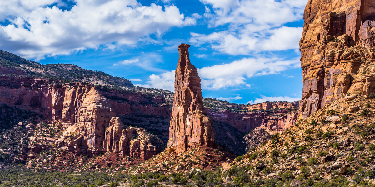
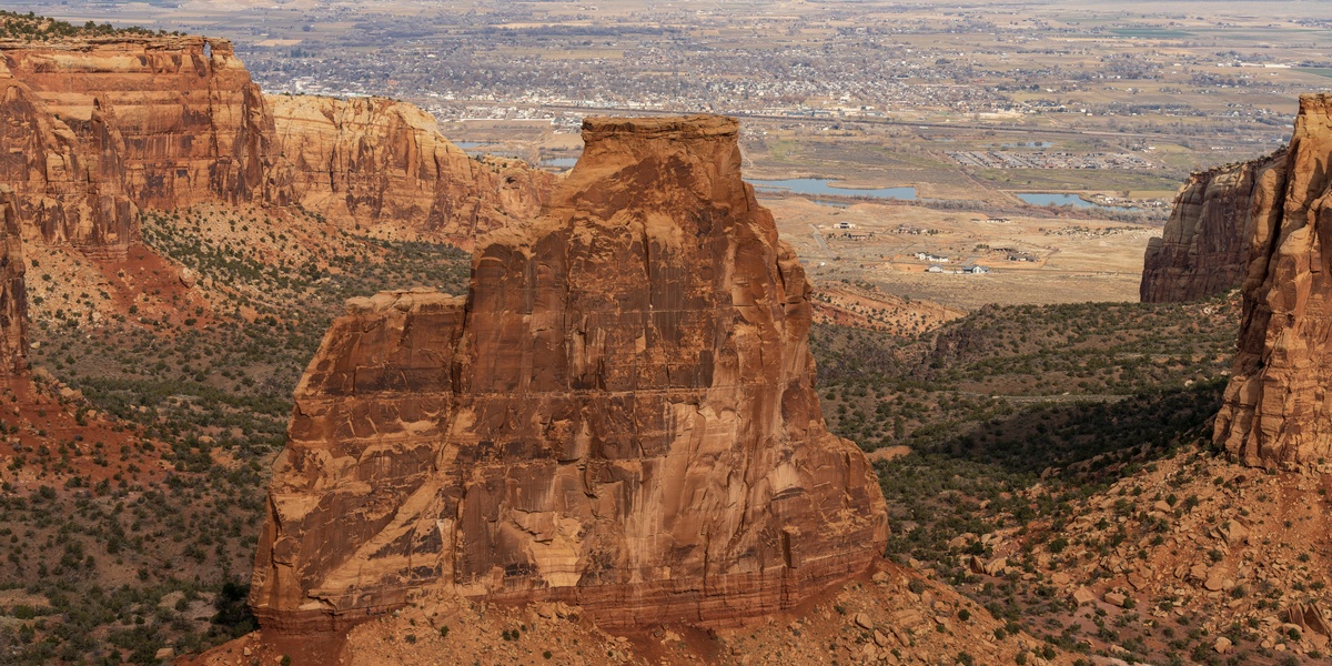
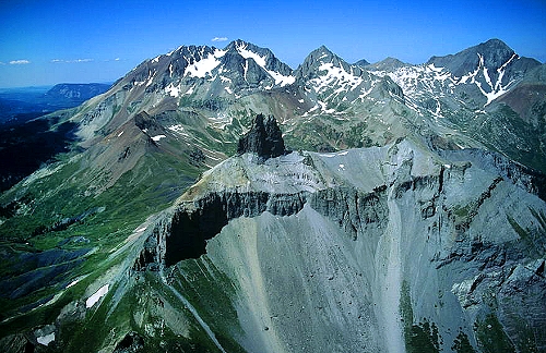
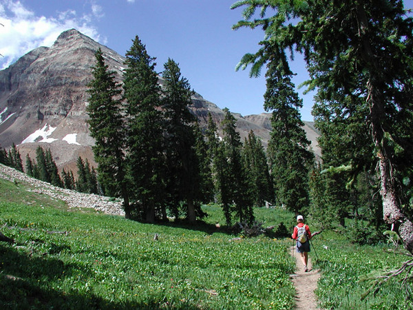
The Trail Head for the Monument Canyon is located just off of State Hwy 340, about 2.1 miles east of the West Park Entrance. The lower part of Monument Canyon offers excellent views of towering rock formations. Hikers should be aware of basic park hiking regulations: pets are not allowed on hiking trails, no vehicles or bicycles on trails, leave no …
Hike: The Grand Valley
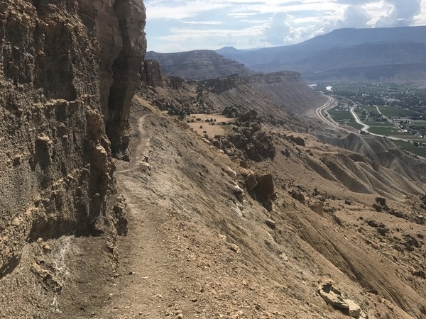
Named for the Grand (Colorado) River, the Grand Valley is about 30 miles long and 5 miles wide. With the Uncompahgre Plateau to the south and the Book Cliff Range to the north, the valley provides multiple venues for outdoor activity. Hiking, road & mountain bike riding, climbing, and paddling are the prime outdoor activities. The Colorado River enters the …
Hike: Telluride
Telluride Area Hikes: USGS Topo Maps link: Telluride Gray Head Mount Wilson Ophir Featured Hikes: Bear Creek Falls: Jud Wiebe Trail: Bridal Veil Falls: Trails: Wasatch Connection: Sneffels Highline Trail #434: Cornet Falls: Deep Creek Trail #418: Idarado Legacy Trail: Valley Floor Trail: Mill Creek Waterline Trail: …
Hike: Sangre de Christo
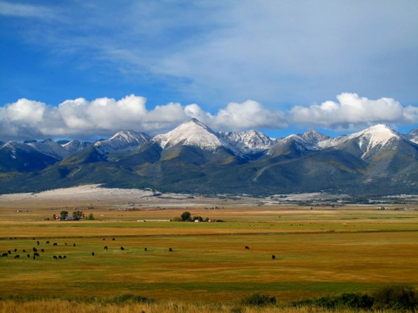
Located in Southern Colorado, the Sangre de Christo Mountains are the southern most chain in the Rockies, stretching from central Colorado into north central New Mexico. With the San Luis Valley on the western side of the range, the Wet Mountain Valley on the east, the Sangres are high and rugged with many 14ers and 13ers for climbing. The highest …
Hike: Purgatory Area
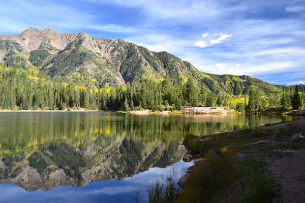
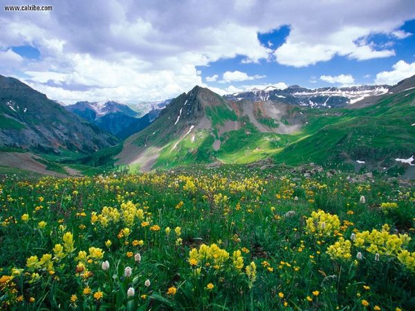
These trails are south and west of Silverton in the San Juan Mountains. Silverton sits at 9,318 feet, and is a mining town dating from the 1880’s. Located 23 miles south of Ouray on the famous “Million Dollar Highway,” Silverton provides the perfect basecamp for those hiking, climbing, and exploring this area of the San Juan Mountains. USGS Topo Maps …
Hike: Palisade
Mount Garfield with an elevation of 6,637 is the highest point in the Bookcliff Mountains. This range stretches almost 240 miles from just east of Palisade into eastern Utah. The cliffs are created with Cretaceous sandstone, with the top layer looking like books in a book shelf. An interesting feature of this range is the lack of eroded access canyons …
Hike: Ouray
Ouray, nestled in the San Juan Mountains is known as the “Switzerland of America” for its deep valley, which is surrounded by high peaks. Sitting near the headwaters of the Uncompahgre River, Ouray is named for the Chief of the Uncompahgre Utes in the late nineteenth century. Located on Hwy 550, Ouray is the perfect base camp for exploring and …
Hike: Mesa Verde
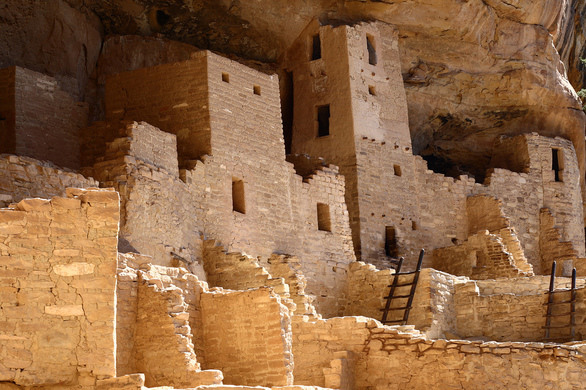
Mesa Verde National Park offers many hiking trails that give visitors a deeper understanding of the terrain and the culture of the Ancestral Puebloans. Created in 1906, by President Roosevelt, the park contains 52,485 acres with more than 4,300 identified archaeological sites with 600 cliff dwellings. USGS Topo Maps Link: Mancos Point Lookout Cortez Wetherill Mesa Moccasin Mesa Trail …
Hike: Lizard Head
Hike: Lizard Head The Lizard Head Wilderness Area contains three 14ers: El Diente Peak (14,316 feet high), Wilson Peak (14,017 feet high), and Mount Wilson (14,246 feet high) in 41,309 acres. Mount Wilson is the highest summit in the San Miguel Mountains. Mount Wilson currently has four small glaciers on the summit area, the southern most glaciers in the Rocky …
Hike: Durango
Hike: Durango Durango is located in the heart of the San Juan National Forest, which covers 1.8 million acres. Wilderness Areas managed through this forest include Weminuche, Lizard Head, South San Juan, and Hermosa Creek. USGS Topo Maps Link: Durango West Durango East Monument Hill Hermosa Trails: Animas Mountain Trail: Hogsback: Graben’s Loop: Ella Vita: Crite’s …
- Page 1 of 2
- 1
- 2
