Ridgway Area Trails are located south of Montrose off of Highway 550. The foundation of the Ridgeway Area Trails is the RAT Group. RAT has been dedicated to founding and supporting mountain bike trails in the Ridgway area. RAT is …
Below you'll find a list of all posts that have been categorized as “ride”
Ridgway Area Trails are located south of Montrose off of Highway 550. The foundation of the Ridgeway Area Trails is the RAT Group. RAT has been dedicated to founding and supporting mountain bike trails in the Ridgway area. RAT is …
This grouping of mountain bike trails is the southern anchor for the Tabeguache Trail. trail head about 9 miles from downtown Montrose to the No Thoroughfare Canyon at the Colorado National Monument just outside of Grand Junction. The trail is …
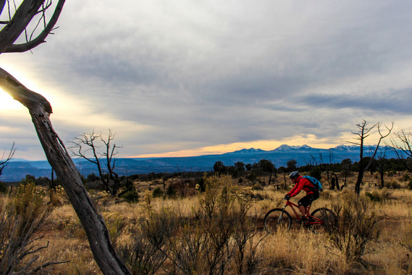
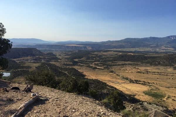
When thinking of the West End, the words wild and scenic come to mind. West End Mountain Biking features high mesas, deep sandstone canyons, and arroyos. Views of the LaSalle Mountains just over the state line in Utah, as well …
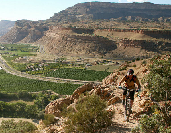
The Palisade Rim Trail explores the southern rim of Palisade. The Palisade Rim Trail garners the majority of biking attention in Palisade, With almost 1,500 feet of ascent and descent this trail is not for the novice biker. The trail …
The Hubbard Mesa Area, northwest of Rifle consists of 2,480 acres with 50 miles of single track, ATV, and jeep trails. Hubbard Mesa can be accessed from the Highway 13 Bypass. Turn north onto County Road 244 (Fravert Reservoir Road) …
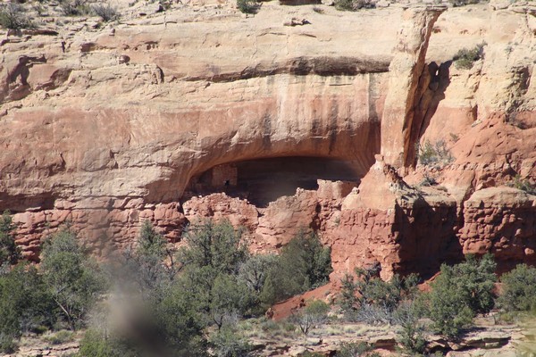
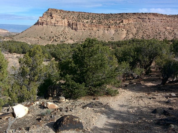
The Canyons of the Ancients National Monument is located west of Coretz in the southwest corner of Coilorado. This national monument was created in 2000, consisting of 176,056 acres and managed by the Bureau of Land Management. Within the boundaries …
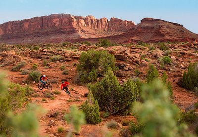
Dead Horse Point sits about 2,000 feet above a gooseneck in the Colorado River. The Dead Horse Point State Park is nine miles northwest of Moab on US 191 and then 23 miles southwest on Utah 313 to the end …
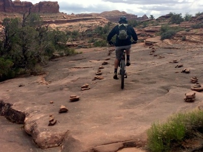
Basecamp Moab Link Behind the Rocks Road 24-Hours of Moab Hunter Canyon Rim Hurrah Pass Pritchett Canyon HyMasa/Captain Ahab Huckfest Amasa Back / Cliffhanger Jacksons Jackson Hole Captain Ahab Jacobs (Jacksons) Ladder Rockstacker Pothole Arch Lockhart Basin Lockhart Canyon
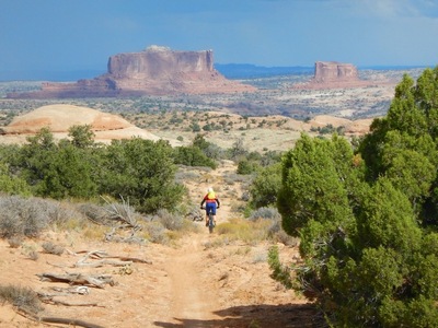
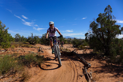
Moab: Navajo Rocks Area The Navajo Rocks Riding Area is about 10 miles north of Moab off of State Highway 313. The first part of the trail system was completed by May 2013. The first trail head is 5 miles …