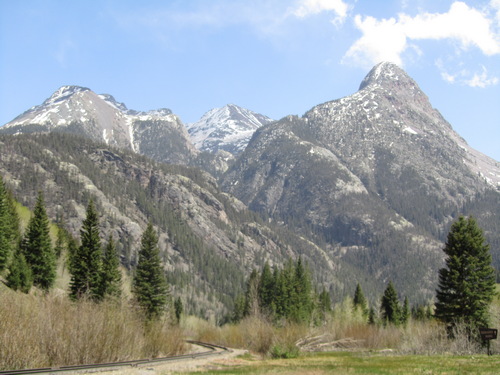
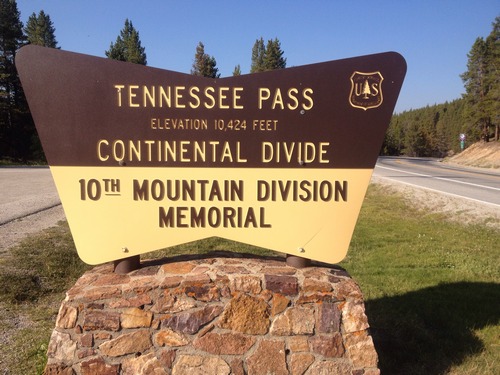
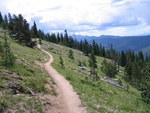
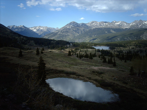
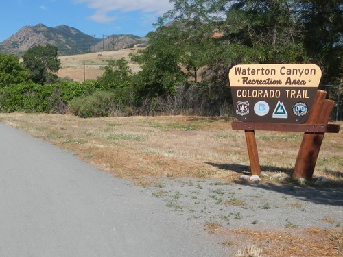
Thinking of hiking the Colorado Trail? Colorado’s famous long distance trail, almost 500 miles, runs from Denver to Durango. The Trail passes through six wilderness areas, crossing eight mountain ranges, totaling a climb of 89,354 feet. In 2004, the Colorado …
Colorado Trail: Copper Mountain to US 50
Section 8: Copper Mountain to Tennessee Pass TH Distance: 25.4 miles Elevation Gain: 4,417 feet Ranger District: Dillon RD, White River NF 680 Blue River Parkway Silverthorn (970) 468-5400 Holy Cross RD, White River NF 24747 Hwy 24 Minturn (970) …
Colorado Trail: US 50 to Spring Creek Pass
Section 15: US 50 to Marshall Pass TH Distance: 14.3 miles Elevation Gain: 3,576 feet Ranger District: Salida RD, San Isabel NF 5575 Cleora Road Salida (719) 539-3591 Gunnison RD, GMUG NF 2250 Highway 50 Delta (970) 874-6660 Section 16: …
Colorado Trail: Spring Creek Pass to Junction Creek
Section 22: Spring Creek TH to Carson Saddle Distance: 17.2 miles Elevation Gain: 3,829 feet Ranger District: Gunnison RD, GMUG NF 216 North Colorado Gunnison (970) 641-0471 Divide RD, Rio Grande NF 13308 West Hwy 160 Del Norte (719) 657-3321 …
Colorado Trail: Waterton Canyon to Copper Mountain
The Waterton Canyon Trail Head is the end or beginning point of the Colorado Trail. The Canyon is administered by the Denver Water Board, as the South Platte River flows through Waterton Canyon. Directions: from Wadsworth Boulevard …