This post is also available in:  English
 Français
 Deutsch
 日本語
日本語
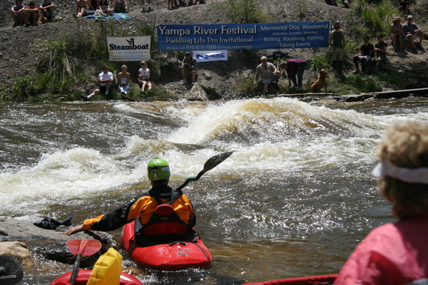
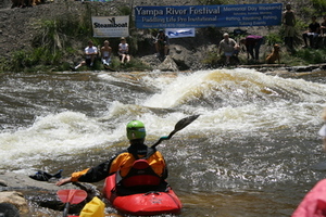
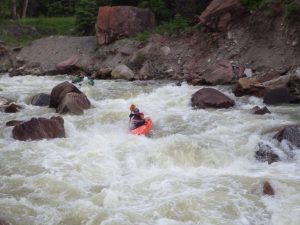
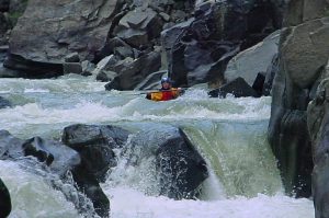
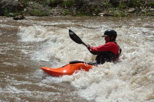
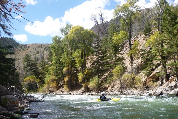
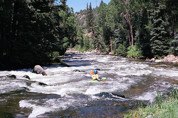
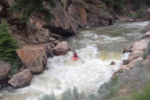
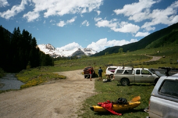
From the high peaks of the Central Rocky Mountains, Colorado boasts of many options for kayaking, SUP boarders, and rafters. The Colorado River provides the major river system with tributaries providing locals and visitors with high quality water. Our Western Slope Rivers include: Colorado, Gunnison, Crystal, Dolores, Roaring Fork, San Juan, and Yampa Rivers.
[wpgmza id=”43″]
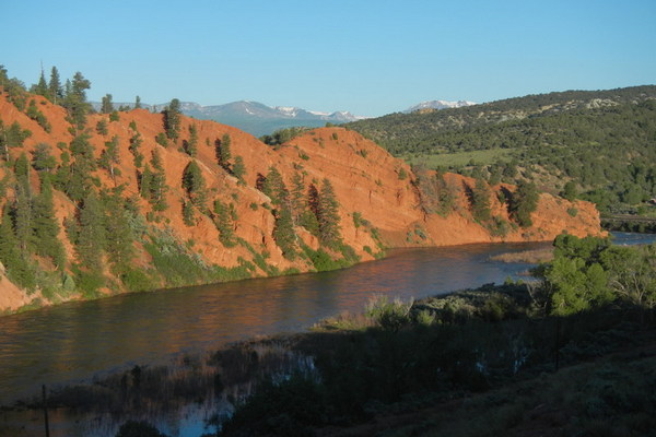
The Colorado River is the major water source for Colorado, Utah, New Mexico, California, Nevada, and Arizona. Beginning around ten thousand feet in Grand, in central Colorado, the river winds through high mountain valleys slowly winding down to the canyon country of eastern Utah.
The Colorado River:
 The Colorado River at 1,450 miles in length is one of the longest rivers in the Western United States. Born in Western Colorado, this river plays a vital role in the life of over 40 million westerners in seven states. The River Basin spans 260,000 square miles, occupying about 8% of the continental United States…continue reading
The Gunnison River:
 The Gunnison River is formed at Almont, where the East River joins the Taylor, then flowing north to the town of Gunnison. At Gunnison, the River then changes course and flows west into the Blue Mesa Reservoir. Continuing west, the Gunnison flows through two water storage units, the Morrow Point Reservoir, and the Crystal Reservoir. Below the Crystal Dam, the River… continue reading
The Dolores River:
 The Dolores River drains a rugged and semi-arid region of southwest Colorado starting in the southern San Juan Mountains. In 1765, the Juan Rivera expedition discovered the Dolores (El Rio de Nuestra Senora de Dolores- Our Lady of Sorrows River) River while looking for a route deep into the Ute Indian Country of the Great Basin. Finding the big bend… continue Reading
The Uncompahgre River:
 The Uncompahgre River is born in the northwestern San Juan Mountains above the town of Ouray. In it’s 75 mile length, it passes through the towns of Ouray, Ridgway, Montrose, and Olathe, meeting the Gunnison River just north of Delta. … continue reading
The Animas River:
 The Animas River starts in the southern reaches of the San Juan Mountains in southwestern Colorado. Named Rio de las Ánimas (River of Souls) in Spanish by Juan Rivera, the 126 mile long River is a tributary of the San …continue reading
The San Miguel River:
 The San Miguel River rises in the northern slopes of the San Juan Mountains near Telluride. The San Miguel, at 81 miles in length, is short and mighty with many options for the kayaker. Flowing from Telluride, past the towns …continue reading
Surf Moab: The Green &
Colorado Rivers
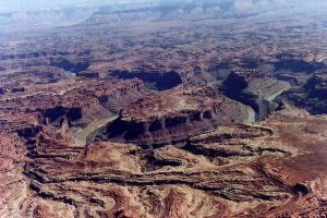 Moab is near the confluence of the Green and Colorado Rivers in east-central Utah. The Green is a chief tributary of the Colorado, being born in the Wind River Mountains of Wyoming, mainly flows through Wyoming and Utah, with a …continue reading
The Blue River
 From the heights of Summit County comes the Blue River. At 65 miles long, this Colorado River tributary offers options for water craft, including the Breckenridge Whitewater Park.*
With two reservoirs, the Dillon and Green Mountain Reservoirs provide….. continue reading
The Roaring Fork
 On the west side of Indenpendence Pass in eastern Pitkin County is the beginnings of the Roaring Fork on it’s 70 mile journey downstream into the Colorado River. Flowing through Aspen, Woody Creek, and Snowmass, the Roaring Fork merges with the Fryingpan River….continue reading
The Crystal River
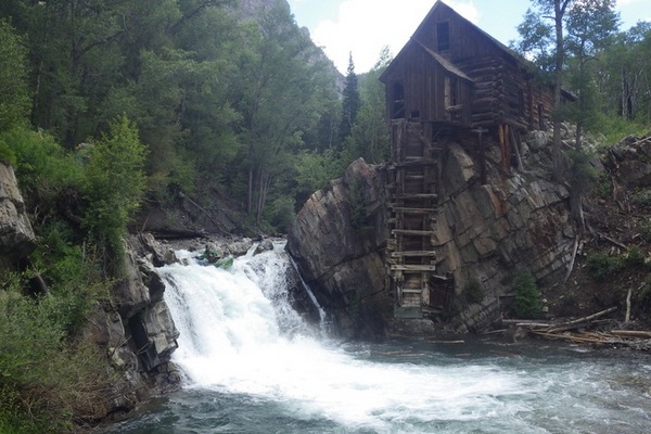 Born in northern Gunnison County and flowing north west, the Crystal River moving through the old mining town of Crystal, Marble, Redstone, and finally into the Roaring Fork near Carbondale. The upper Crystal River flows between two wilderness areas, the Raggeds to the south and the Maroon Bells- Snowmass to the north. Mining in the area….continue reading
The Cimarron River
 The Cimarron River is a 22 mile tributary of the Gunnison River. The confluence with the Gunnison is in the Black Canyon. There are issues with stream flows once the Cimarron starts down into Pleasant Valley resulting from agriculture water rights…continue reading
East River Valley
 The East River, at 38.3 miles, flows south from Emerald Lake above Gothic. At Almont, the East joins with the Taylor to form the Gunnison River. There are four separate runs in the East River drainage area. “The Quadruple Crown: Because of the short length and proximity of the Crested Butte creeks all 4 of them can be run….continue reading
Paddle: McInnis Canyons NCA
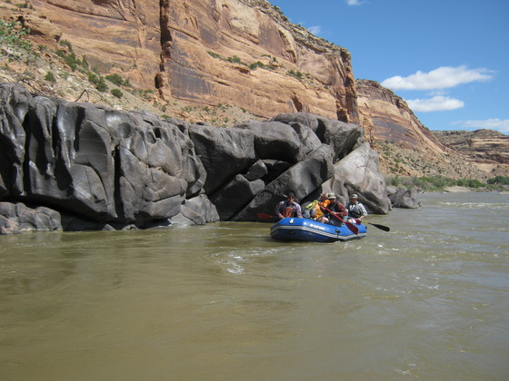 This section of the Colorado River (Loma Launch to Westwater) flows through the heart of the McInnis Canyons NCA. The run is approximately 25 miles in length with Class I & II rapids. There are many day hike opportunities in the side canyons of Knowles, Moore, Mee, Bull, and Rattlesnake.
Day use permits are not required for paddling ….continue reading