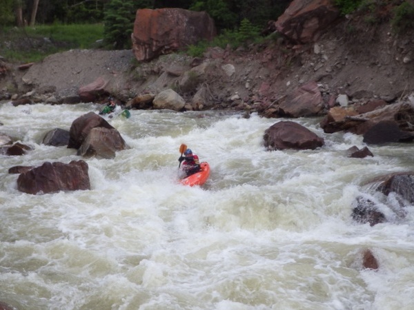
The Uncompahgre River is born in the northwestern San Juan Mountains above the town of Ouray. In it’s 75 mile length, it passes through the towns of Ouray, Ridgway, Montrose, and Olathe, meeting the Gunnison River just north of Delta. Irrigation water plays a large role in the Uncompahgre. Water storage at the Ridgway Reservoir, and diversion dams starting at Trout Road.
 The Montrose Water Sports Park is located Baldridge Park. The park consists of 1,000 feet of river, with six drops. The gradient is 11 feet for 1/5 mile. The river in Montrose is supported through return flows by the Uncompoahgre Valley Water Users.

[wpgmza id=”50″]
| Uncompahgre Gorge: Uncompahgre Gorge “The Box” Season: Spring-Summer Day Use Pass: na Class or Rapids: IV-V (V=) Length: 3.3 miles Put-in: Red Mountain Creek American Whitewater.org |
Ouray to KOA Campground: Season: Spring-Summer Day Use Pass: na Class or Rapids: III-V Length: 2.2 miles Put-in: Ouray American Whitewater.org |
| Rollans Park to Ridgway Reservoir: Season: Spring-Summer Day Use Pass: na Class or Rapids: II-III Length: 4.5 miles Put-in: Rolling Park in Ridgway American Whitewater.org |
Billy Creek SWA to Trout Road: Season: Spring-Summer Day Use Pass: na Class or Rapids: I-II Length: na Put-in: Billy Creek SWA American Whitewater.org |