On the west side of Indenpendence Pass in eastern Pitkin County is the beginnings of the Roaring Fork on it’s 70 mile journey downstream into the Colorado River. Flowing through Aspen, Woody Creek, and Snowmass, the Roaring Fork merges with the Fryingpan River at Basalt. Continuing down the valley, just below Carbondale, the Crystal River flows into the Roaring Fork. At Glenwood Springs, the Roaring Fork merges with the Colorado River.

[wpgmza id=”56″]
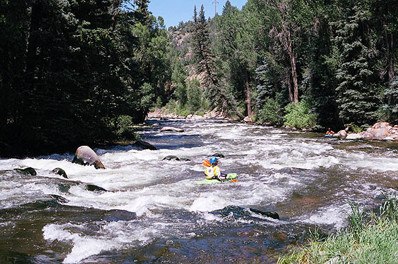
| Weller Lake to Difficult Camp Ground (Upper Roaring Fork): Season: Spring- Summer Day Use Pass: na Class of Rapids: V+ Length: 3.2 miles Put-in: Weller Lake AmericanWhitewater.org |
Slaughterhouse Aspen to Woody Creek Bridge: Season: Spring- Summer Day Use Pass: na Class of Rapids: IV-V Length: 4.5 miles Put-in: Aspen American Whitewater.org |
| Upper Woody Creek Bridge to Lower Woody Creek Bridge: Season: Spring- Summer Day Use Pass: na Class of Rapids: III Length: 3.8 miles Put-in: Upper Woody Creek Bridge American Whitewater.org |
Lower Woody Creek Bridge to Route 82 Bridge: Season: Spring- Summer Day Use Pass: na Class of Rapids: III Length: 6.2 miles Put-in: Lower Woody Creek Bridge American Whitewater.org |
| Black Bridge to Veltus Park (Cemetery): Season: Spring- Summer Day Use Pass: na Class of Rapids: II+ Length: 6.2 miles Put-in: Black Bridge American Whitewater.org |
|
Roaring Fork Above Difficult CG
|
|
Roaring Fork at Glenwood Springs
|