Ride: Mountain Bike the Uncompahgre Plateau
The Uncompahgre Plateau is a forested area to the south-west of Montrose. Access from town starts by driving on West Main Street, bearing right at the fork with Chipeta Drive, and you are on State Highway 90. Continuing on Highway 90 to the top of Spring Creek Mesa. The Highway zigs and zags through rural housing and scattered farmland. Just before Oak Grove Elementary School is 6250 Road going south. If your biking off of Dave Wood Road, take 6250 Road south, after several miles 6250 Road turns into Dave Wood Road.
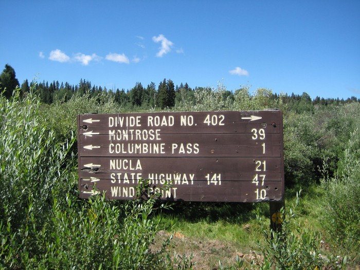
There are a series of trails located off of Highway 90, continue on, going south at Oak Grove Elementary School, eventually climbing onto the Uncompahgre Plateau. The Plateau is an extended land mass, cut by the Uncompahgre River on the eastern boundary, and moving west into the canyon country of eastern Utah. The Divide Road (USFS #402) bisects the Plateau from east to west.
Broken Antler Trail
(Dave Wood Road)
Buck and Aspen Combo
(Hwy 90)
Mailbox Trail
Off of 6250 Road (Dave Wood Road), just past the second canal, parking and trail head on the right near the mailboxes. Trail is .7 mile long and connects to the Buzzard Gulch Loop trails.
Buzzard Gulch Loop
(Dave Wood Road)
Clear Creek Loop
(Dave Wood Road)
Dakota Rim
(Dave Wood Road)
Lower Spring Creek Trail
(Lower Dave Wood Road)
Spring Creek Trail
(Dave Wood Road)
Rim Trail Loop
(Divide Road)
Paradox
(Divide Road)
Old Paradox Trail
(Divide Raod)