This post is also available in:  English
 Français
 Deutsch
 日本語
日本語
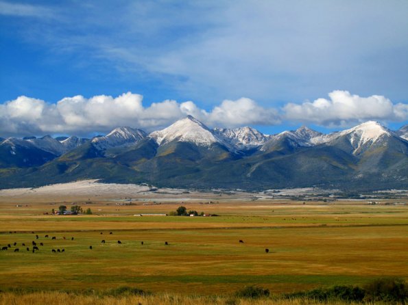
Located in Southern Colorado, the Sangre de Christo Mountains are the southern most chain in the Rockies, stretching from central Colorado into north central New Mexico. With the San Luis Valley on the western side of the range, the Wet Mountain Valley on the east, the Sangres are high and rugged with many 14ers and 13ers for climbing. The highest peak in the range is Blanca Peak, 14,345 feet high, with nine peaks total over fourteen thousand feet in elevation.
The trail reports and USGS Topo Maps for this area stretch from south to north, for the sake of simplicity.
USGS Topo Maps Link:
Culebra Peak: please note, Culebra Peak is on private property, with a climbing fee attached to this hike/climb.
Lake Como Rd.
Tour de Little Bear
Mt. Lindsey
Lily Lake Trail
Zapata Falls
Mosca Pass Trail
Sand Ramp Trail
Liberty Road
Music Pass Trail to Upper Sand Creek Lake
Lower Sand Creek Lake Trail
Humboldt Peak
Humboldt Peak Summit Trail
South Colony Spur
South Colony Lake Approach
Broken Hand Pass
Crestone Needle
Crestone Peak
Kit Carson and Challenger
Kit Carson North Ridge
Comanche Trail
Venable Trail
Rito Alto Four Pass Loop