Ride: Hartman Rocks
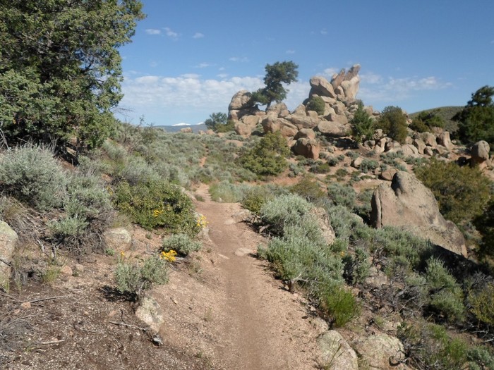
The Gunnison area has multiple options for single track, in two basic areas, the Hartman Rocks and the University regions. The Hartman Rocks group of trails provide 40 miles of singletrack trails and an additional 33 miles of open road for biking. Opportunities for recreation include biking, hiking and trail running. There are also a new adaptive hand cycling trails in addition to winder single track trails that provide hand cycling opportunities. All trail users can take advantage of the free CBGTrails app and take a map of Hartman’s with them on their smartphone when they head out to ride or hike. From Highway 50, take West Airport Road, County Road 38, watch for trail parking several miles on the right.
[wunderground location=”Gunnison, CO” numdays=”4″ layout=”simple”]
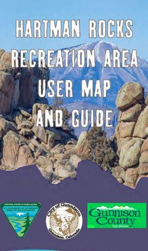 Hartman Rocks User Guide
Hartman Rocks
(Off Highway 50, west of Gunnison)
Jacks Trail
(Off Highway 50, west of Gunnison)
Aberdeen Loop
(Off Highway 50, west of Gunnison)
Collarbone Alley
(Off Highway 50, west of Gunnison)
Rattlesnake
(Off Highway 50, west of Gunnison)
The Notch
(Off Highway 50, west of Gunnison)
Ring Dike
(Off Highway 50, west of Gunnison)
Top of the World
(Off Highway 50, west of Gunnison)
Lower Jacks
(Off Highway 50, west of Gunnison)
The Luge
(Off Highway 50, west of Gunnison)
Joshos
(Off Highway 50, west of Gunnison)
Josies
(Off Highway 50, west of Gunnison)
Buddy Bear
(Off Highway 50, west of Gunnison)
Road 3560
(Off Highway 50, west of Gunnison)
Gateway
(Off Highway 50, west of Gunnison)
Graceland
(Off Highway 50, west of Gunnison)
Road 3545
(Off Highway 50, west of Gunnison)
Road 3505
(Off Highway 50, west of Gunnison)
Road 3530
(Off Highway 50, west of Gunnison)
Road 3530
(Off Highway 50, west of Gunnison)