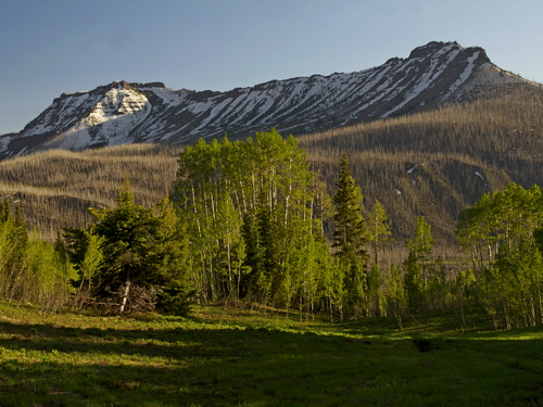
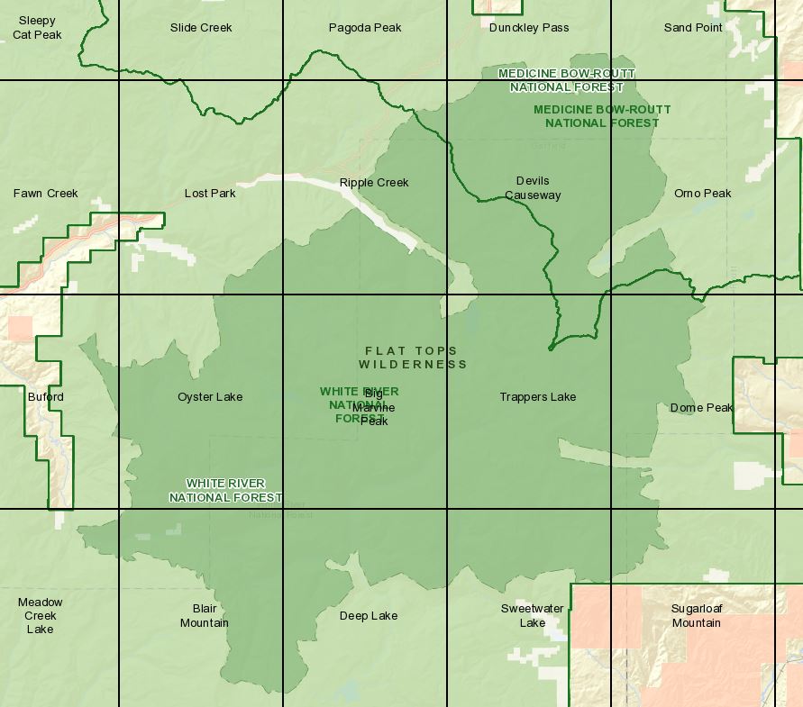
The Flat Tops Wilderness Area is the 2nd largest Wilderness Area in Colorado. The Flat Tops are home of Trappers Lake (see camping) which served as the inspiration for Arthur Carhart to advocate for the preservation of Forest land as wilderness. This Area is named for the massive block of limestone that was uplifted by magma 52 million years ago. With the uplift and volcanic activity, basalt was spread through the region over 12 million years. During the ice age, glacial activity resulted in the molding of the land, producing a flat top we see today.
USGS Topo Maps Link:
Established: 1975
Acres: 235,035
Elevation Range: 7,600 to 12,994 feet
Peaks:
Towns: Rifle, Meeker, Yampa, Steamboat Springs, Oak Creek, Hayden
Hunting Areas: 24, 25, 12, 26, 33, 34
Links:
Camp: Medicine Bow-Routt National Forest, Gore Range-Flat Tops Area