Ride: Gunnison Gorge NCA
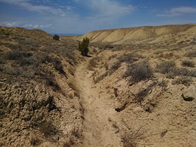
Access to the Gunnison Gorge National Conservation Area for Mountain Biking in the “Flat Top Peach Valley Recreation Area” is found north-east of Montrose. Turn east from Highway 50 north of Montrose, on Falcon Road for three miles to the end of the pavement and on to Peach Valley Road. At the Falcon Road intersection with Highway 50, there is a BLM sign: Gunnison Gorge National Conservation Area.
[wunderground location=”Olathe, CO” numdays=”4″ layout=”simple”]Black Ridge Trail
(Peach Valley Road)
Eagle Valley Trail
(Peach Valley)
Mystery Ditch
(Peach Valley)
Red Rocks/Nighthorse Trail
(Peach Valley)
Sidewinder Loop
(Peach Valley)
Sunset Rocks
(Peach Valley)
Elephant Skin Road
(Peach Valley)
Red Rocks South
(Peach Valley)
Wave Road
(Peach Valley)
Ute Road
(Peach Valley)

