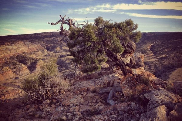
Named for the Grand (Colorado) River, the Grand Valley is about 30 miles long and 5 miles wide. With the Uncompahgre Plateau to the south and the Book Cliff Range to the north, the valley provides multiple venues for outdoor activity. Hiking, road & mountain bike riding, climbing, and paddling are the prime outdoor activities. The Colorado River enters the valley at Palisade, meets the Gunnison River mid valley, and to exits the state through the sandstone canyons in the west.
As the largest city on the Western Slope, Grand Junction provides excellent support services for outdoor enthusiasts. The smaller towns of Fruita and Palisade offer a smaller “home town” feel over the larger city of Grand Junction.
This section of hiking trails is on the eastern section of the valley.
USGS Topo Maps Link:
| Colorado National Monument | Grand Junction | Clifton |
| Glade Park | Island Mesa | Whitewater |
Basecamp Grand Junction Link
Tabeguache Trail – Grand Valley Section:
Third Flats Road:
Twist-N-Shout:
Eagle’s Wing:
Eagle’s Nest Loop:
Andy’s Loop:
Rough Canyon Loop: