The Colorado River at 1,450 miles in length is one of the longest rivers in the Western United States. Born in Western Colorado, this river plays a vital role in the life of over 40 million westerners in seven states. The River Basin spans 260,000 square miles, occupying about 8% of the continental United States.
Major Tributaries of the Colorado:
Frazier River
Muddy Creek
Blue River– Snake River, Tenmile Creek
Eagle River- Gore Creek
Roaring Fork River– Fryingpan River, Crystal River
Gunnison River– East River (Slate Creek), Taylor River, Uncompahgre River
Dolores River– San Miguel River
Green River- Yampa River (Elk River, White River)
San Juan River- Navajo River, Piedra River, Animas River,

[wpgmza id=”53″]
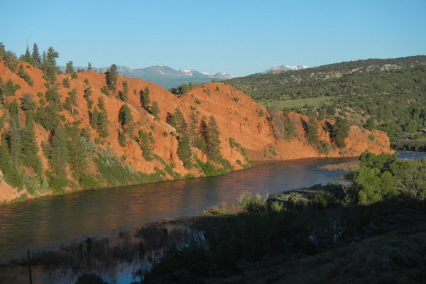
Colorado River Section: UtahHot Sulphur Springs to Hwy 40 bridge (Byers Canyon): Season: Spring-Summer |
Gore Canyon:
Season: Spring-Summer |
| Pumphouse Campground to State Bridge (Pumphouse):
Season: Spring-Summer |
State Bridge to Burns: Season: Spring-Summer |
Burns to Dotsero (Burns Canyon): Season: Spring-Summer |
Hanging Lake to Shoshone Power Plant:
Season: Spring-Summer |
| Shoshone Power Plant to Grizzly Creek: Season: Spring-Summer Day-Use Pass: na Class of Rapids: III-IV Length: 2 miles Put-in: Shoshone Power Plant, Exit 125 American Whitewater.org |
Grizzly Creek to Two Rivers Park: Season: Spring-Summer |
| Two Rivers Park to South Canyon: Season: Spring-Summer Day-Use Pass: na Class of Rapids: II Length: 6 miles Put-in: Grizzly Creek American Whitewater.org |
South Canyon to New Castle: Season: Spring-Summer Day-Use Pass: na Class of Rapids: I Length: 9.4 miles Put-in: Two Rivers Park American Whitewater.org |
| New Castle to Cameo: Season: Spring-Summer Day-Use Pass: na Class of Rapids: I Length: na Put-in: New Castle American Whitewater.org |
Big Sur: Season: Spring-Summer Day-Use Pass: na Class of Rapids: III Length: 0.1 miles Put-in: Cameo “Big Sur on the Colorado is a unique feature that occurs when flows reach 20,000cfs. High flows are provided by coordinated reservoir operations upstream, and are intended to support endangered fish in the Grand Valley. ” American Whitewater.org |
| Grand Junction Town (Palisade to Loma Launch: Season: Spring-Summer |
|
Colorado River Section: UtahColorado River, Loma launch to Westwater launch (Ruby to Horsetheif): |
Westwater launch to Rose Ranch (Westwater Canyon): Season: Spring- Summer Day Use Pass: na Class of Rapids: I-IV Length: 17 miles Put-in: Westwater American Whitewater.org |
| Cisco (Rose Ranch) to Moab: Season: Spring- Summer Day Use Pass: na Class of Rapids: I-III Length: 47 miles Put-in: Rose Ranch American Whitewater.org |
Confluence with Green River to Lake Powell: Season: Spring- Summer Day Use Pass: na Class of Rapids: I-IV Length: 112 miles Put-in: Confluence of the GreenAmerican Whitewater.org |
Colorado River Below Baker Gulch Nr Grand Lake
|
|
Colorado River At Windy Gap, Near Granby
|
Colorado River Below Glenwood Springs
|
Colo River Below Grand Valley Div Nr Palisade
|
|
Colorado River At Catamount Bridge
|
Colorado River Near Colorado- Utah State Line
|