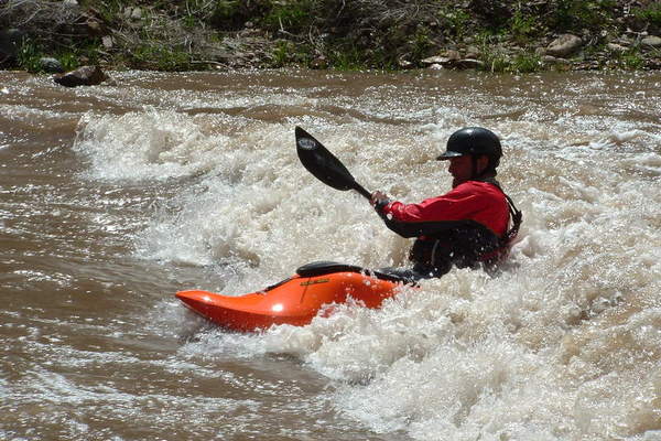
The San Miguel River rises in the northern slopes of the San Juan Mountains near Telluride. The San Miguel, at 81 miles in length, is short and mighty with many options for the kayaker. Flowing from Telluride, past the towns of Placerville, Nucla, and Naturita, the San Miguel ends with the confluence of the Dolores River in Montrose County, just 15 miles east of the Utah state line. Lower river hazards include three diversion dams, and cattle fences starting at the Highway 145 brodge east of Norwood. The San Miguel flows from Alpine ecosystem into the desert, over a 7,000 foot drop in elevation.

[wpgmza id=”49″]
San Miguel River SectionsBilik Creek to Down Valley Park (Sawpit): |
Down Valley Park to Specie Creek: Season: Spring- Summer Day Use Pass: na Class of Rapids: III Length: 6.5 miles Put-in: Down Valley Park American Whitewater.org |
Specie Creek to Beaver Creek: Season: Spring- Summer Day Use Pass: na Class of Rapids: II+ Length: na Put-in: Specie Creek American Whitewater.org |
Beaver Creek to Pinon Bridge: Season: Spring- Summer Day Use Pass: na Class of Rapids: III Length: 20 miles Put-in: Beaver Creek American Whitewater.org |
Pinon Bridge to Naturita: Season: Spring- Summer Day Use Pass: na Class of Rapids: I (IV- Varies with level) Length: na Put-in: Pinon Bridge American Whitewater.org |
Naturita to Dolores Confluence: Season: Spring- Summer Day Use Pass: na Class of Rapids: Length: miles Put-in: Naturita American Whitewater.org |