The East River drains from above the old town of Gothic, down east of Mt. Crested Butte, following southerly to help form the Gunnison River at Almont. Access to this area can be found by turning to the Golf Course (Road 738), passing easterly along the base of the mountain, and dropping into the drainage. Parking is available at various places along Road 738 depending on the trailhead.
USGS Topographic Maps Links:
Upper Upper Loop
(East River Valley)
Farris Creek Trail #409
(East River Valley)
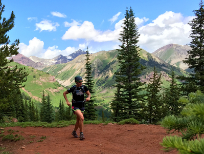
Teocalli Ridge Loop
(East River Valley)
Canal Trail
(East River Valley)
Trail 400 (Star Pass)
(East River-Brush Creek)
Taylor Pass Divide Road
(Star Pass to Aspen)