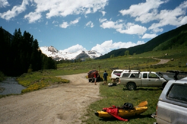
The East River, at 38.3 miles, flows south from Emerald Lake above Gothic. At Almont, the East joins with the Taylor to form the Gunnison River. There are four separate runs in the East River drainage area. “The Quadruple Crown: Because of the short length and proximity of the Crested Butte creeks all 4 of them can be run in the same day. The East River is the best to start out with; it has the largest flow and the least gradient of the four. Next in line is Daisy Creek. Just continue downstream after Daisy to the confluence with the Slate River; there will be about 1/2 mile of slack water until the first rapid. The takeout for the Slate River is the same as Oh Be Joyful Creek so just walk or drive up to the OBJ put-in from there.” American Whitewater.org

[wpgmza id=”60″]
East River: Season: Spring- Summer |
|
Slate River: Season: Spring- Summer |
Beaver Ponds to Oh Be Joyful CG: Season: Spring- Summer |
| Oh Be Joyful Creek:
Season: Spring- Summer |
|
East River below Cement Creek Nr Crested Butte, CO
|