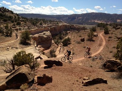
Ride: Loma, Kokopelli Trail Area Loma is an unincorporated area in Mesa County just west of Grand Junction. Take the Loma Exit from I-70, turn left (south) off the exit to the Kokopelli Trail parking area, just south of the …
Below you'll find a list of all posts that have been categorized as “ride”
Ride: Loma, Kokopelli Trail Area Loma is an unincorporated area in Mesa County just west of Grand Junction. Take the Loma Exit from I-70, turn left (south) off the exit to the Kokopelli Trail parking area, just south of the …
The Main Parking Lot is on 18 Road, north of Fruita. From Highway 50 Business in Fruita, drive north on Maple Street, continue north and Maple turns into 17 1/2 Road. Continue North on 17 1/2 Road for several miles …
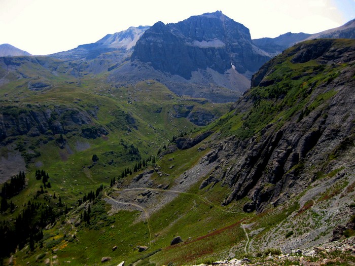
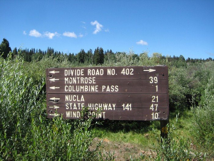
Ride: Grand Mesa In West Central Colorado sits the Grand Mesa, the largest flat topped mountain in the world at an area of about 500 square miles. Located just 35 miles north west of Montrose and 40 miles east of …
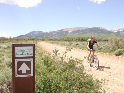
Ride: Paradox Trail The Paradox Trail (110 miles) is the result of the 1995 collaboration between the Colorado Plateau Mountain Bike Trail Association, the Montrose West Recreation Inc. the US Forest Service and the Bureau of Land Management. This trail …
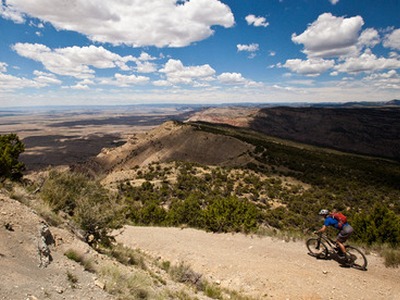
Ride: Tabeguache Trail The Tabeguache (TAB-a-watch) Trail stretches from the Shavano Valley, trail head about 9 miles from downtown Montrose to the No Thoroughfare Canyon at the Colorado National Monument just outside of Grand Junction. The trail is over 140 …
Ride: Gunnison Gorge NCA Access to the Gunnison Gorge National Conservation Area for Mountain Biking in the “Flat Top Peach Valley Recreation Area” is found north-east of Montrose. Turn east from Highway 50 north of Montrose, on Falcon Road for …
Ride: Mountain Bike the Uncompahgre Plateau The Uncompahgre Plateau is a forested area to the south-west of Montrose. Access from town starts by driving on West Main Street, bearing right at the fork with Chipeta Drive, and you are on …
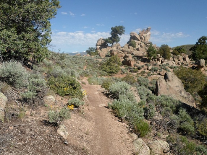
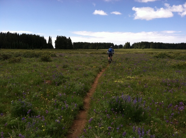
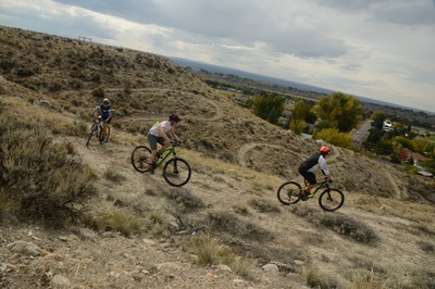
Ride: Hartman Rocks The Gunnison area has multiple options for single track, in two basic areas, the Hartman Rocks and the University regions. The Hartman Rocks group of trails provide 40 miles of singletrack trails and an additional 33 miles …