Sur le côté ouest de Indenpendence passer dans l’est de Pitkin County est le début de la Roaring Fork sur c’est 112 km voyage en aval dans la rivière Colorado. Passant par le tremble, Woody Creek, et Snowmass, le Roaring Fork fusionne avec le gril, à basalte. Continuer en bas de la vallée, juste au-dessous de Carbondale, le cristal se jette dans la Roaring Fork. À Glenwood Springs, le Roaring Fork fusionne avec la rivière Colorado.

[wpgmza id=”56″]
| Weller Lake to Difficult Camp Ground (Upper Roaring Fork): Season: Spring- Summer Day Use Pass: na Class of Rapids: V+ Length: 3.2 miles Put-in: Weller Lake AmericanWhitewater.org |
Slaughterhouse Aspen to Woody Creek Bridge: Season: Spring- Summer Day Use Pass: na Class of Rapids: IV-V Length: 4.5 miles Put-in: Aspen American Whitewater.org |
| Upper Woody Creek Bridge to Lower Woody Creek Bridge: Season: Spring- Summer Day Use Pass: na Class of Rapids: III Length: 3.8 miles Put-in: Upper Woody Creek Bridge American Whitewater.org |
Lower Woody Creek Bridge to Route 82 Bridge: Season: Spring- Summer Day Use Pass: na Class of Rapids: III Length: 6.2 miles Put-in: Lower Woody Creek Bridge American Whitewater.org |
| Black Bridge to Veltus Park (Cemetery): Season: Spring- Summer Day Use Pass: na Class of Rapids: II+ Length: 6.2 miles Put-in: Black Bridge American Whitewater.org |
|
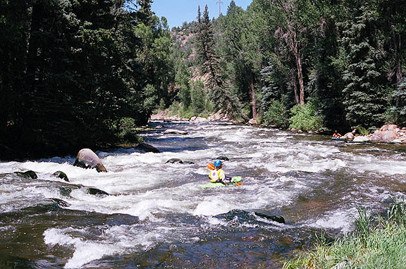
Roaring Fork Above Difficult CG
|
|
Roaring Fork at Glenwood Springs
|