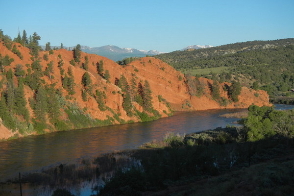
Der Colorado River auf 2320 km Länge ist eine der längsten Flüsse in den westlichen Vereinigten Staaten. In den Westlichen Colorado geboren, dieser Fluss spielt eine wichtige Rolle im Leben von über 40 Millionen Menschen des Westens in sieben Staaten. Das Einzugsgebiet erstreckt sich über 260.000 Quadratkilometer, etwa 8% der kontinentalen Vereinigten Staaten.
Wichtigsten Nebenflüsse des Colorado:
Frazier River
Muddy Creek
Blue River– Snake River, Tenmile Creek
Eagle River- Gore Creek
Roaring Fork River– Fryingpan River, Crystal River
Gunnison River– East River (Slate Creek), Taylor River, Uncompahgre River
Dolores River– San Miguel River
Green River- Yampa River (Elk River, White River)
San Juan River- Navajo River, Piedra River, Animas River,

[wpgmza id=”53″]
Colorado River Section: UtahHot Sulphur Springs to Hwy 40 bridge (Byers Canyon): Season: Spring-Summer |
Gore Canyon:
Season: Spring-Summer |
| Pumphouse Campground to State Bridge (Pumphouse):
Season: Spring-Summer |
State Bridge to Burns: Season: Spring-Summer |
Burns to Dotsero (Burns Canyon): Season: Spring-Summer |
Hanging Lake to Shoshone Power Plant:
Season: Spring-Summer |
| Shoshone Power Plant to Grizzly Creek: Season: Spring-Summer Day-Use Pass: na Class of Rapids: III-IV Length: 2 miles Put-in: Shoshone Power Plant, Exit 125 American Whitewater.org |
Grizzly Creek to Two Rivers Park: Season: Spring-Summer |
| Two Rivers Park to South Canyon: Season: Spring-Summer Day-Use Pass: na Class of Rapids: II Length: 6 miles Put-in: Grizzly Creek American Whitewater.org |
South Canyon to New Castle: Season: Spring-Summer Day-Use Pass: na Class of Rapids: I Length: 9.4 miles Put-in: Two Rivers Park American Whitewater.org |
| New Castle to Cameo: Season: Spring-Summer Day-Use Pass: na Class of Rapids: I Length: na Put-in: New Castle American Whitewater.org |
Big Sur: Season: Spring-Summer Day-Use Pass: na Class of Rapids: III Length: 0.1 miles Put-in: Cameo “Big Sur on the Colorado is a unique feature that occurs when flows reach 20,000cfs. High flows are provided by coordinated reservoir operations upstream, and are intended to support endangered fish in the Grand Valley. ” American Whitewater.org |
| Grand Junction Town (Palisade to Loma Launch: Season: Spring-Summer |
|
Colorado River Section: UtahColorado River, Loma launch to Westwater launch (Ruby to Horsetheif): |
Westwater launch to Rose Ranch (Westwater Canyon): Season: Spring- Summer Day Use Pass: na Class of Rapids: I-IV Length: 17 miles Put-in: Westwater American Whitewater.org |
| Cisco (Rose Ranch) to Moab: Season: Spring- Summer Day Use Pass: na Class of Rapids: I-III Length: 47 miles Put-in: Rose Ranch American Whitewater.org |
Confluence with Green River to Lake Powell: Season: Spring- Summer Day Use Pass: na Class of Rapids: I-IV Length: 112 miles Put-in: Confluence of the GreenAmerican Whitewater.org |
Colorado River Below Baker Gulch Nr Grand Lake
|
|
Colorado River At Windy Gap, Near Granby
|
Colorado River Below Glenwood Springs
|
Colo River Below Grand Valley Div Nr Palisade
|
|
Colorado River At Catamount Bridge
|
Colorado River Near Colorado- Utah State Line
|