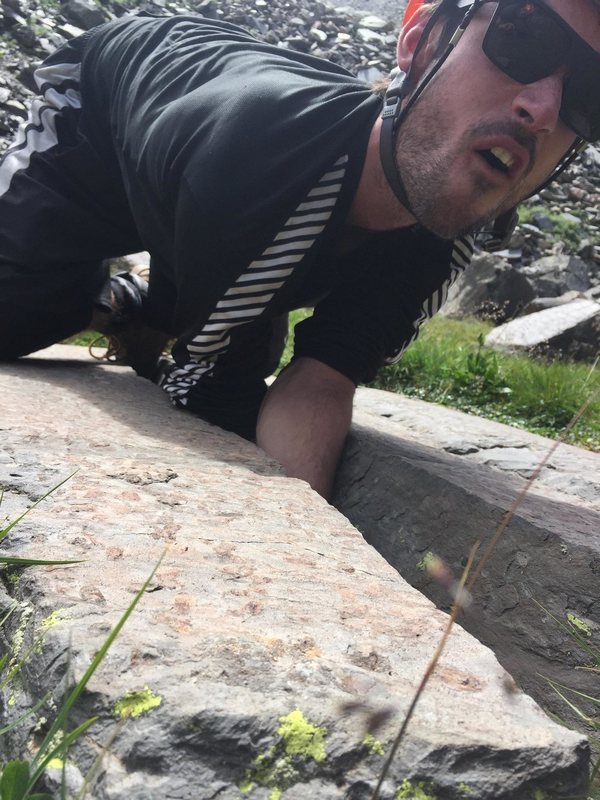
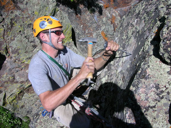
Located in Central Colorado, the Gunnison Area is a large draw for rock climbing and other outdoor activities. Named for the explorer, John W. Gunnison, the area first drew miners in search of gold in the late 1870’s. Cattle ranching became king in the 1880’s, as rail lines reached the Gunnison Valley and local farmers discovered that the short growing season was more suited to cattle. Today, Gunnison continues to be rich ranch country, with outdoor activities and the resulting tourist trade being the foundation for the 21st century.
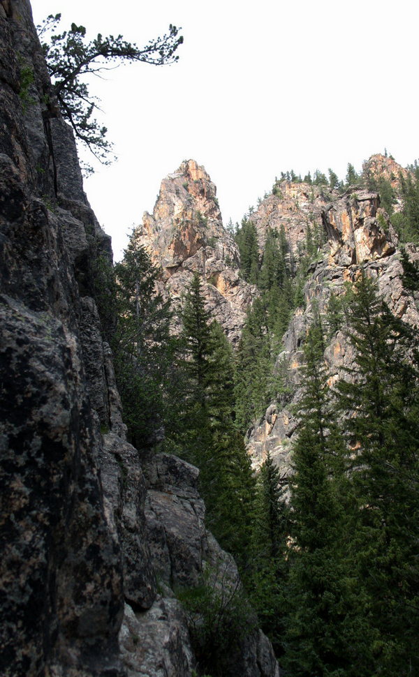
West of Gunnison is the Black Canyon of the Gunnison National Park, deep and narrow with with routes as long as 2,000 feet. Hartman Rocks is a multi-use area administered by the BLM, the City of Gunnison, and Gunnison County. Bike, hike, camp, bouldering, and traditional climbing are all part of the Hartman Rocks experience. Taylor Canyon has options which include rock climbing, camping, paddling, fishing, mountain biking, and hiking. If the Harmel’s Area of Taylor Canyon is crowded, a short drive to Spring Creek (which drains into the Taylor River), has fewer folks along with nice walls, towers, and crags to explore. Thinking of a degree in Recreation and Outdoor Recreation, Western State Colorado University in Gunnison is a large draw for students invested in outdoor activity. Looking for a wide variety of climbing options, Gunnison is worth the investigation for a Colorado Climb.
[wpgmza id=”102″]
Alpine Tunnel, Palisades Rock Climbing: 0 Routes
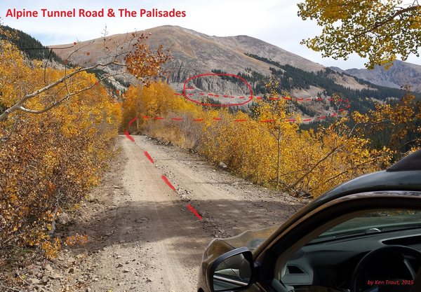 Located above the town of Pitkin, in eastern Gunnison County, provides climbing opportunities along the Palisades. The Palisades are granite cliffs next to the rail road grade (today’s Forest Service road) just below the western portal of the tunnel. Access is easy, just above Pitkin, on the road to Tincup, take FS Road 839.
Mountainproject.com: Alpine Tunnel, Palisades Rock Climbing
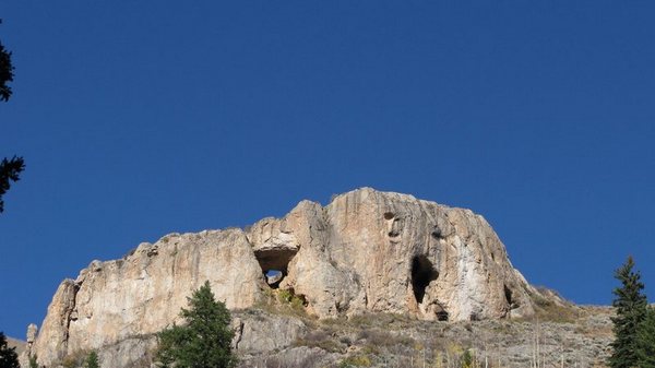
Black Canyon of the Gunnison: 126 Routes
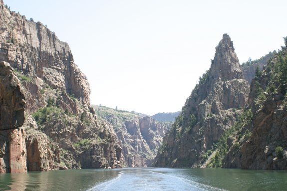 The Black Canyon of the Gunnison is located just west of Gunnison (east of Montrose) off of Highway 50. There are two rims, the South Rim just north of Highway 50, and the North Rim located just south of Highway 92.
Westerncooutdoors.com: Black Canyon Rock Climbing
Mountainproject.com: Black Canyon Rock Climbing
Blue Mesa Inlet Rock Climbing: 3 Routes
 Located east of Gunnison, off of Highway 50 before reaching the the Lake City Turnoff, Highway 149.
Mountainproject.com: Blue Mesa Inlet Rock Climbing
The Castles Rock Climbing: 0 Routes
 The Castles are high towers located in the West Elk Wilderness Area, north west of Gunnison. Access is from Forrest Service Road 730. Take Highway 135 north of Gunnison for several miles until reaching the turnoff for the Ohio Valley (FS 730).
Mountainproject.com: The Castles Rock Climbing
Cement Creek Rock Climbing: 16 Routes
 Located north of Gunnison (south of Crested Butte) off of Highway 135
Mountainproject.com: Cement Creek Rock Climbing
Gate View Canyon Rock Climbing: 18 Routes
 Traveling on Highway 50 west of Gunnison to the turnoff to Lake City (Highway 149), continue on until reaching the Blue Mesa Cutoff which will be on the right side of the road. Taking the “Cutoff” until reaching signage for Gate View.
Mountainproject.com: Gate View Rock Climbing
God’s Crag Rock Climbing: 26 Routes
 At the town of Lake City, take the road to Engineer Pass (Henson Creek Road). Taking the Henson Creek Raod for 7.2 miles, God’s Crag will be located on the right side of the road. Watch for ticks when in the climbing area.
Mountainproject.com: God’s Crag Rock Climbing
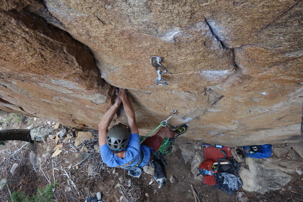
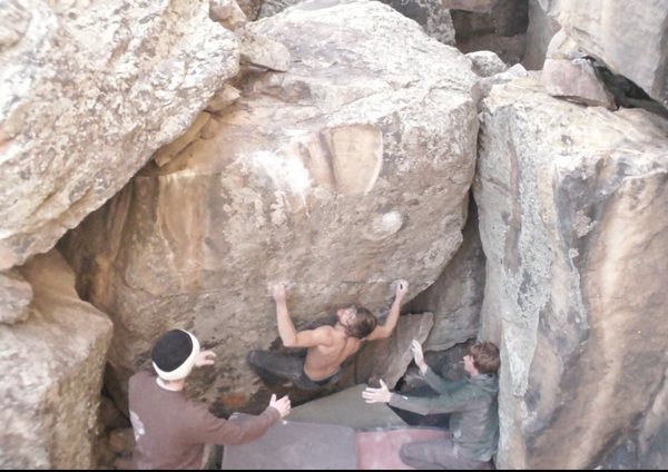
Hartman Rocks Rock Climbing: 177 Routes
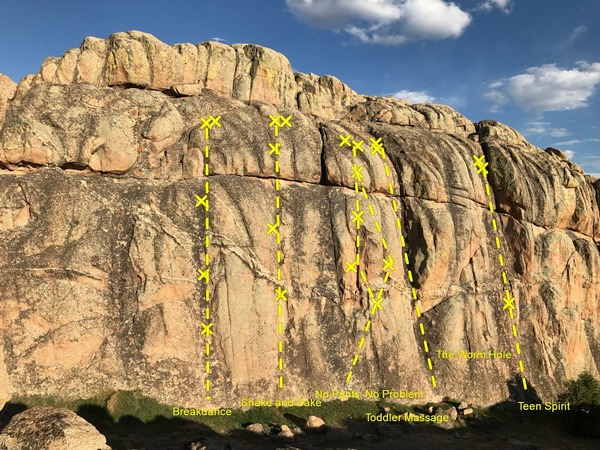 From the town of Gunnison, drive on Highway 50 west, just past the Gunnison Air Port will be a sign for Hartman Rocks. Turn left and continue past the KOA campground.
Westerncooutdoors.com: Hartman Rocks Rock Climbing
Mountainproject.com: Hartman Rocks Rock Climbing
Lamphier Lake Area Rock Climbing: 1 Route
 From Gunnison drive on Highway 50 east to Parlin. Take FS 76 to Ohio City. The climbing area is located just north of Ohio City and the Gold Creek Campground.
Mountainproject.com: Lamphier Lake Area Rock Climbing
Lost Canyon Bouldering: 12 Routes
 From the town of Gunnison drive north on Highway 135 toward Crested Butte. At 7.2 miles from the last stop light, there will be a set of mail boxes and a candy striped pole on the right side of the road. The cliff band can be seen on the western side of the road.
Mountainproject.com: Lost Canyon Bouldering
The Point, Powderhorn (aka Indian Creek) Rock Climbing: 15 Routes
 From Gunnison travel west on Highway 50, to Highway 149 (Lake City turnoff), just south of Powderhorn, just past MM 97, turn east on CR 58, driving 2.5 miles. There will be a pull off on the left side of the road just before the third cattle guard. From the pulloff there is a 4×4 road about 200 feet down the road, take the 4×4 road on the right (west), follow 200-300 yards to a pullout, past this point follow the trail another 200 feet to the southwest to the climbing area.
Mountainproject.com: The Point, Powderhorn (aka Indian Creek) Rock Climbing
Real Lost Canyon Bouldering: 17 Routes
 From Gunnison take Highway 135 north, get on the right side frontage road, from the frontage road drive right on CR 10 (Lost Canyon Road), follow CR 10 (dirt road) past houses, when reaching the firing range on the left, continue on for the pulloff several hundred yards on the right. The bouldering area will be on the other side of the road.
Mountainproject.com: Real Lost Canyon Bouldering
Sac Snag Tower Rock Climbing: 1 Route
 Located just west of the Blue Mesa Dam above Highway 92.
Mountainproject.com: Sac Snag Tower Rock Climbing (Hwy 92 Cliff Band Rock Climbing)
Spring Creek: 26 Routes
 Travel north of Gunnison to Almont; at Almont travel on Road 742 (up the Taylor River) to the Harmel’s Resort. At Harmel’s turn on to Road 744 (Spring Creek). From the end of the pavement (2 miles), watch for climbing areas.
Mountainproject.com: Spring Creek Rock Climbing
Willow Creek Bouldering: 10 Routes
Travel east from Gunnison on Highway 50, at Parlin take the turnoff to Ohio City (Road 76). There is a gate on the left side of the road as you reach Ohio City (the first section of this road is private, please respect the property owner, follow this road until seeing the public lands sign. Once on public lands, the boulder area will be obvious.