東ピトキン郡の Indenpendence 峠の西側の 70 マイルの旅下流にコロラド川のうなり声を上げてフォークの始まりです。 うなり声を上げてフォーク ウッディー クリーク、アスペン、スノーマスに流れる玄武岩でふらいぱぁん川とマージします。 続いて、カーボンデールのすぐ下の谷、下クリスタル リバーはうなり声を上げてフォークに流れます。 グレンウッド スプリングスでうなり声を上げてフォークはコロラド川と合併します。

[wpgmza id=”56″]
| Weller Lake to Difficult Camp Ground (Upper Roaring Fork): Season: Spring- Summer Day Use Pass: na Class of Rapids: V+ Length: 3.2 miles Put-in: Weller Lake AmericanWhitewater.org |
Slaughterhouse Aspen to Woody Creek Bridge: Season: Spring- Summer Day Use Pass: na Class of Rapids: IV-V Length: 4.5 miles Put-in: Aspen American Whitewater.org |
| Upper Woody Creek Bridge to Lower Woody Creek Bridge: Season: Spring- Summer Day Use Pass: na Class of Rapids: III Length: 3.8 miles Put-in: Upper Woody Creek Bridge American Whitewater.org |
Lower Woody Creek Bridge to Route 82 Bridge: Season: Spring- Summer Day Use Pass: na Class of Rapids: III Length: 6.2 miles Put-in: Lower Woody Creek Bridge American Whitewater.org |
| Black Bridge to Veltus Park (Cemetery): Season: Spring- Summer Day Use Pass: na Class of Rapids: II+ Length: 6.2 miles Put-in: Black Bridge American Whitewater.org |
|
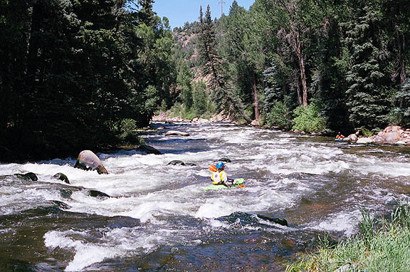
Roaring Fork Above Difficult CG
|
|
Roaring Fork at Glenwood Springs
|