This post is also available in:  English
 Français
 Deutsch
 日本語
日本語
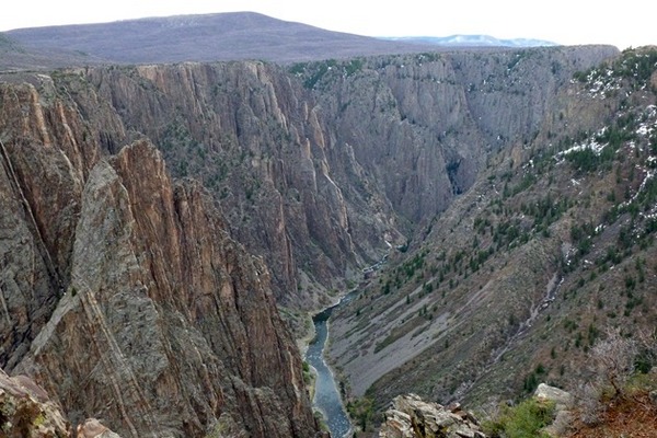
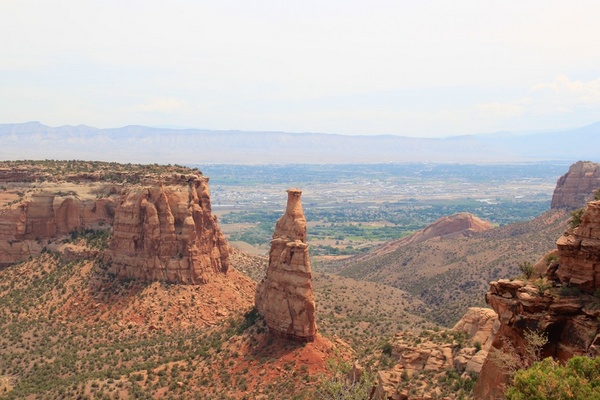
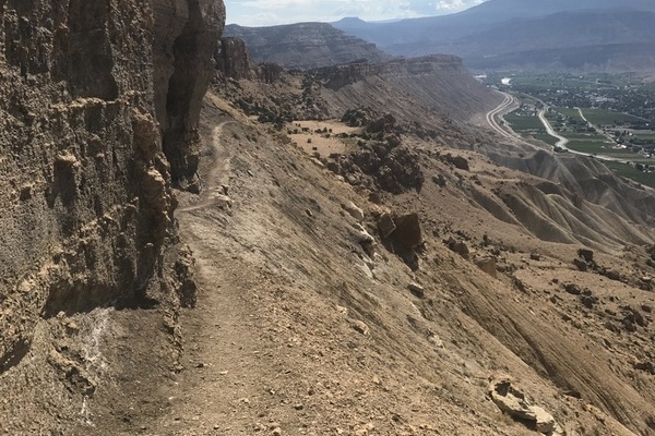
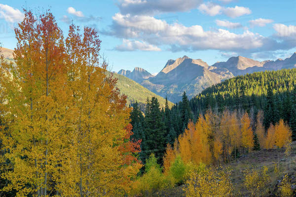
Welcome to Western Colorado outdoors. Our website is dedicated to promoting outdoor activity here in Western Colorado. Bicycle, hiking, skiing, snowshoeing, fishing, hunting, camping or enjoying a cold drink in a Brew pub, our goal is to provide visitors and locals with the best information about life in the free Western Colorado style! We invite our readers to dig and explore the adventure of Western Colorado.
Outdoor events: Western Colorado Style
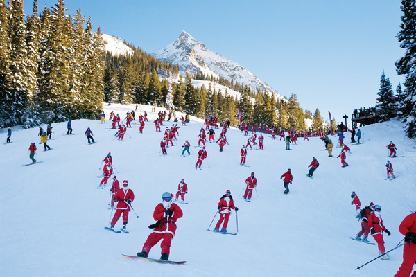
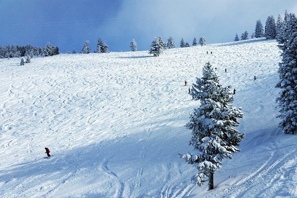
Western Colorado outdoors brings our readers the classic outdoor events in Western Colorado and eastern Utah. With fresh powder during the last part of October, the folks at Western Colorado Outdoors and thinking Skiing!
Crested Butte Mountain Resort: November 24
Vail: Lions Head & Mid Vail are Open
Purgatory: On Hold, Updating November 24
Steamboat Springs: November 27
Snowmass: November 25
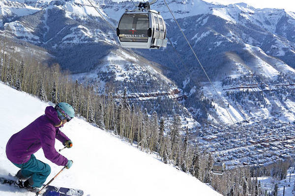
Telluride: December 3
Powderhorn: November 26
Aspen Highlands: December 11
Hike
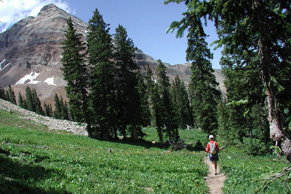
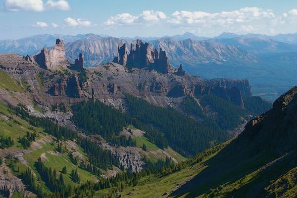
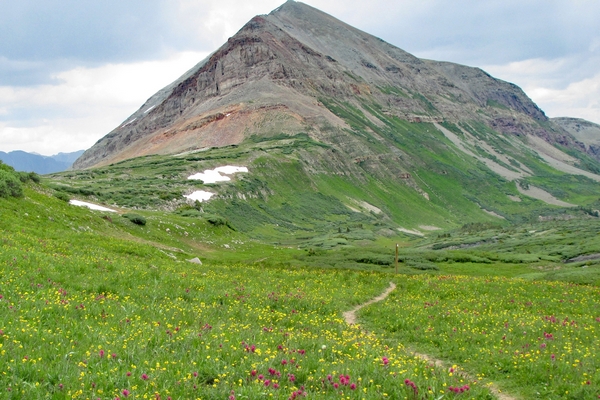
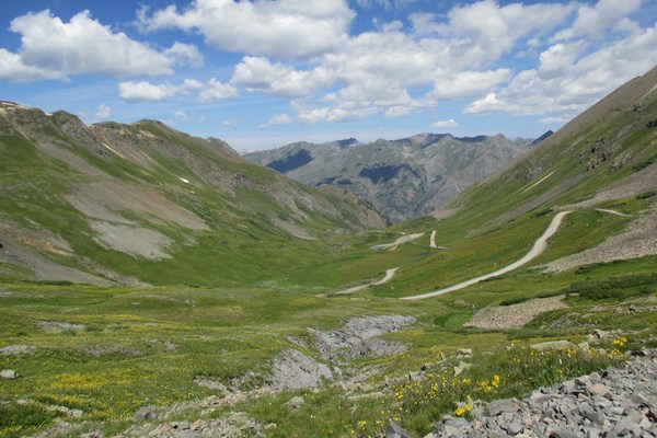
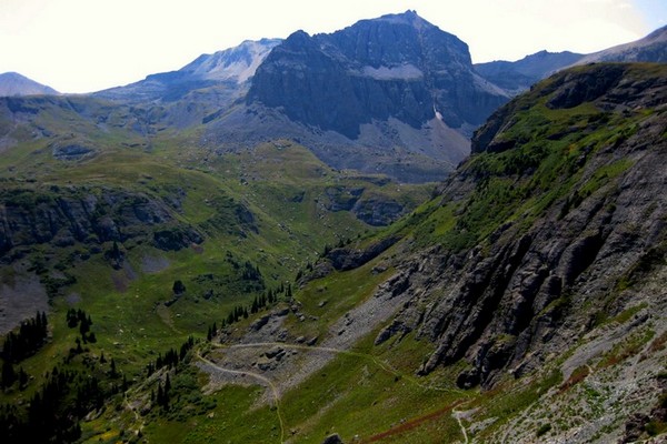
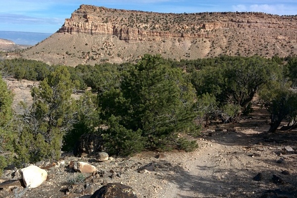
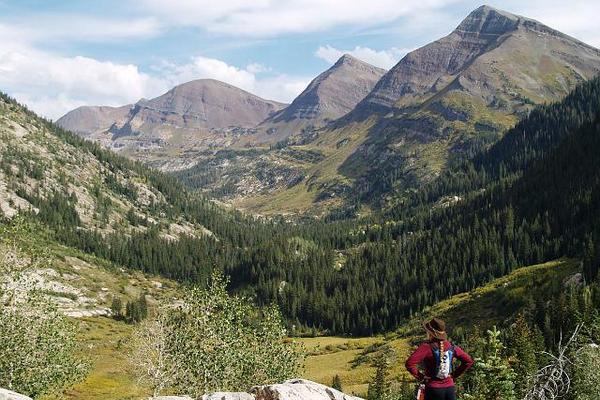
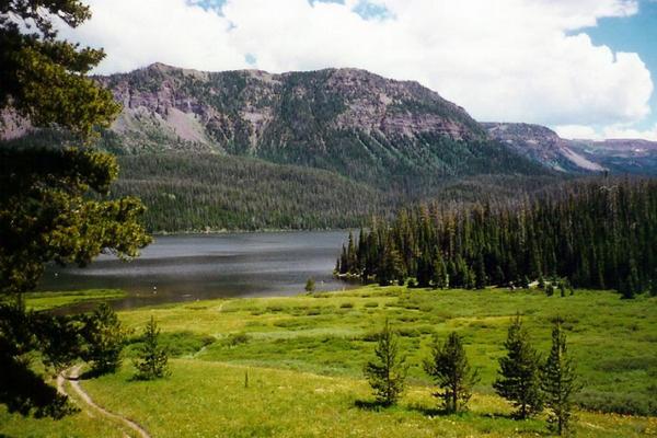
Hiking options abound here on the Western Slope. Our directory of hiking trails serves as an introduction to getting back to the trail Western Colorado Style.
Camp
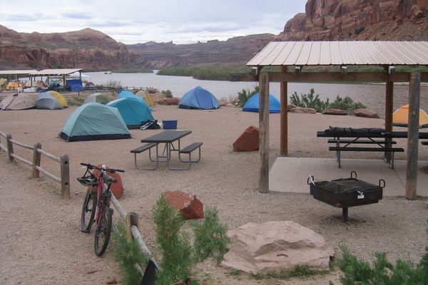
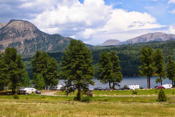
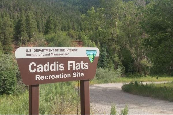
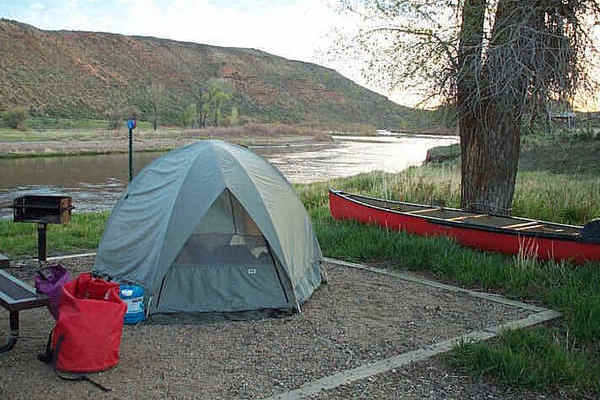
Western Colorado presents the camper a wide variety of options during camping season. Options include National Forrest, National Park/ Monument, State Park, and private campgrounds.
Climb a 14er
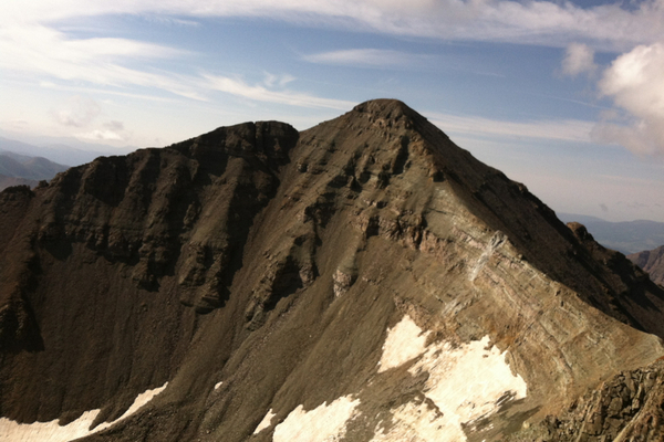
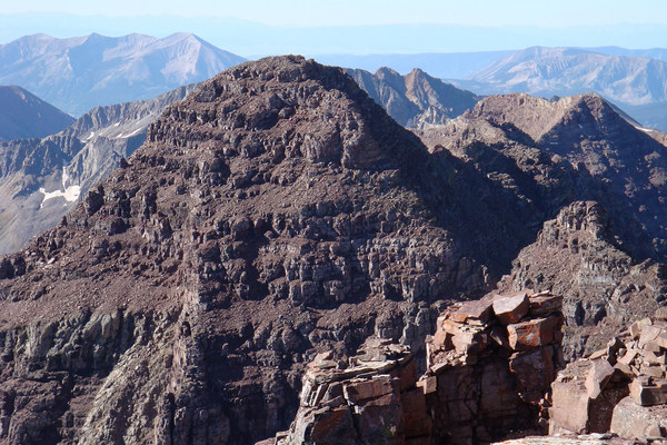
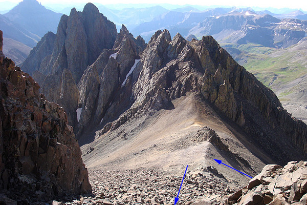
Colorado is home to 54 mountain peaks over 14,000 feet in elevation.
Colorado Trail
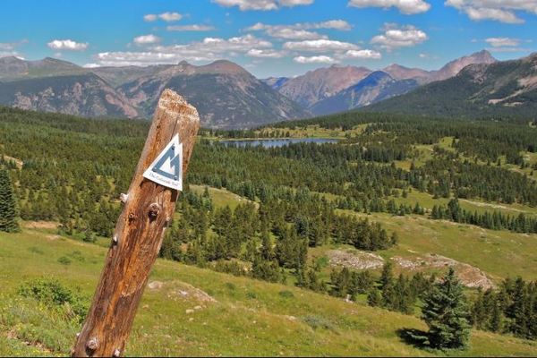
Thinking of hiking the Colorado Trail? Colorado’s famous long distance trail, almost 500 miles, runs from Denver to Durango. The Trail passes through . . . .
Fish
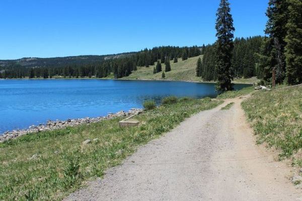
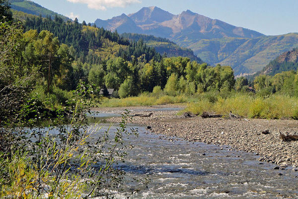
Western Colorado hosts some of the best trout fishing in country. From rivers to pristine mountain streams and lakes, Colorado is home to 35 species of warm and cold water fish.
Ski
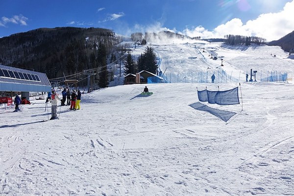
Our Western Colorado Outdoors Guide offers resort weather, snowpack, resort status, maps, and more!
Paddle
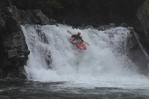
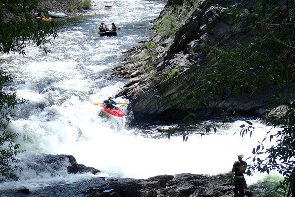
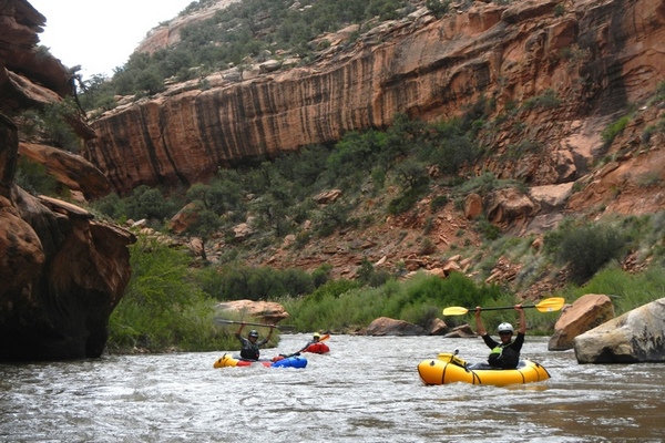
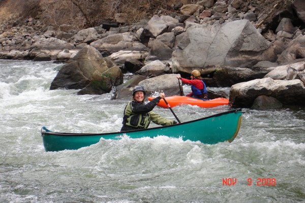
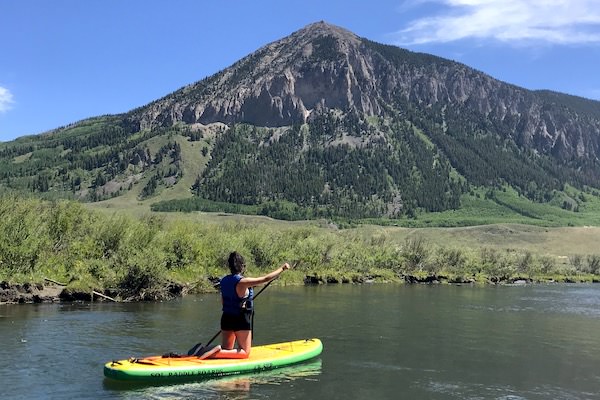
Rivers and Rapids, Colorado has you covered! Look at surfing options from kayaking, SUP, and rafting with our Colorado River Paddling Guide.
Mountain Bike
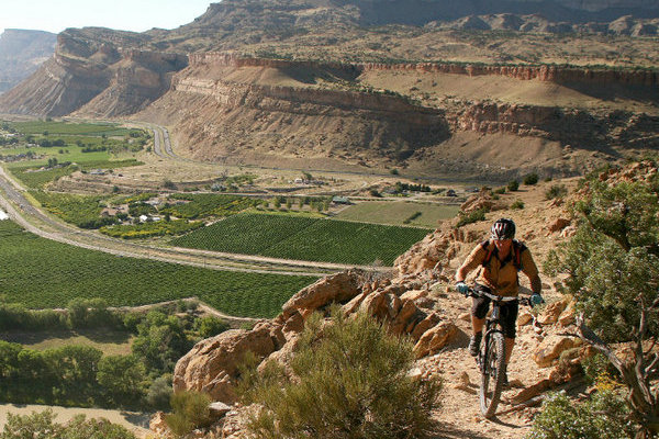
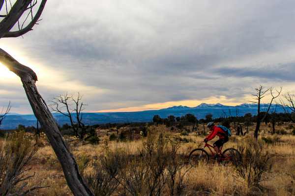
Western Colorado plays host to some of the best single track in the state. From the Alpine Classic 401, to the Kokopelli Trail on the Colorado River, we have the routes! Check out out Ride posts!
Basecamp
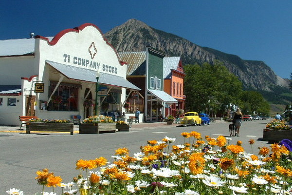
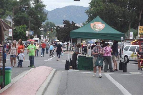
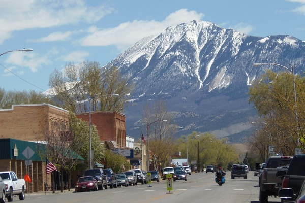
Each Basecamp town provides area support for the outdoor explorer. Providing basic services and home town charm are all part of the rural Colorado experience.
Wilderness Areas
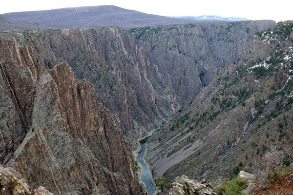
The Western Slope of Colorado is the home of 23 wilderness areas. Managed under the National Parks Service, the US Forest Service and the Bureau of Land Management, these protected areas preserve over 3.7 million acres of land. Wilderness Area Link
Parks & Monuments
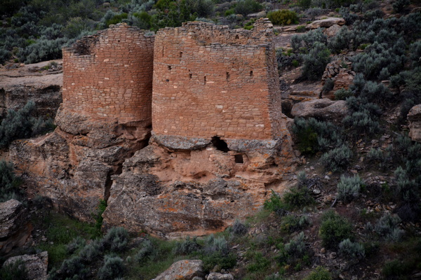
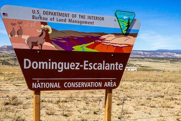
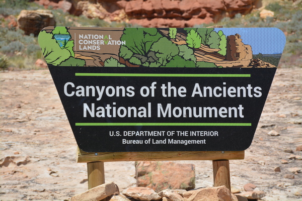
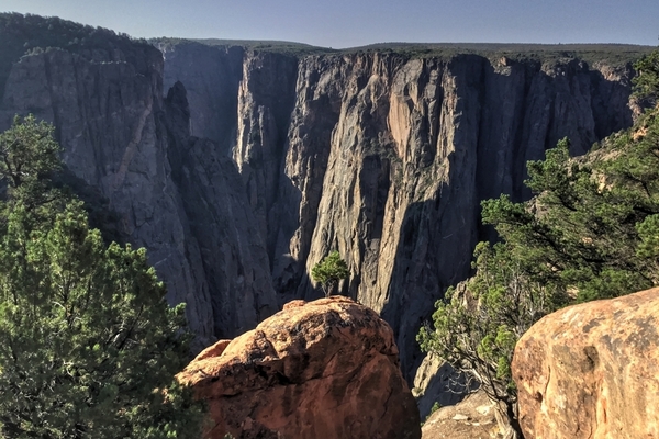
Western Colorado is home to a large number of federal parks, monuments, and conservation areas. From Hovenweep National Monument in the southwest corner to Dinosaur National Monument in the northwest, our information posts assist in planning for your next adventure.
Parks-Monuments Link
Partners
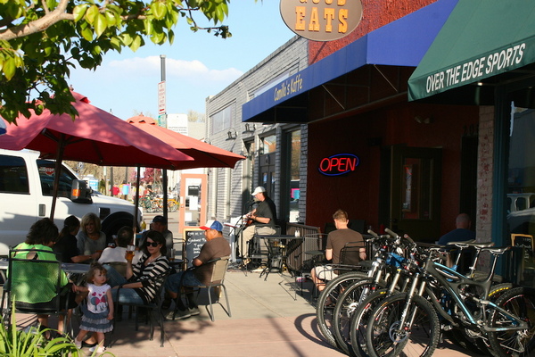
Looking for that special craft beer or a hot cup of coffee, our basecamp partners are there to help. Each advertiser is linked to specific pages around each basecamp.
Climb
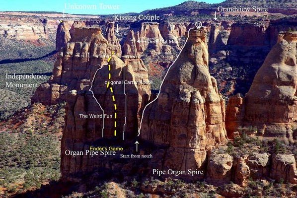
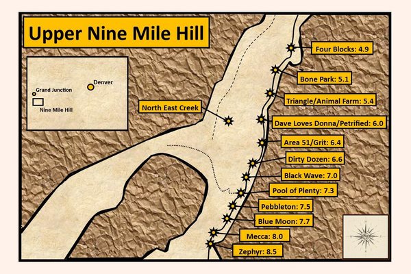
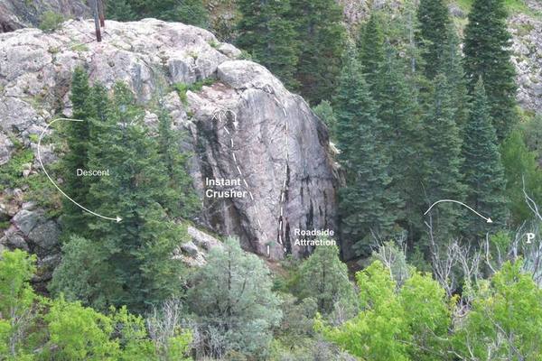
Looking for rock climbing information here in Western Colorado? Our climbing posts strive for complete information to plan your climbing adventure. Winter Ice? We have you covered with details on the three ice parks located on the Western Slope. Climbing Link
State Parks
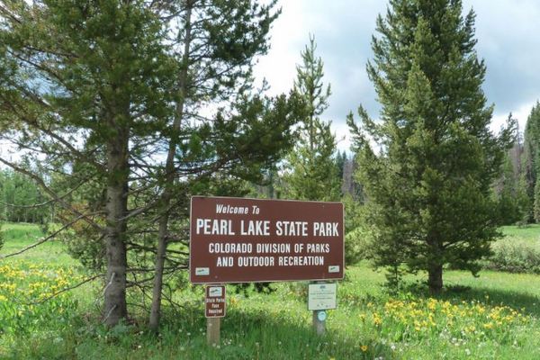
Our State Park posts provides park information posts for trip planning. Looking for lake fishing, bird watching, hiking, campfire programs, and unique activities, we have you covered at Western Colorado Outdoors! State Park Link

